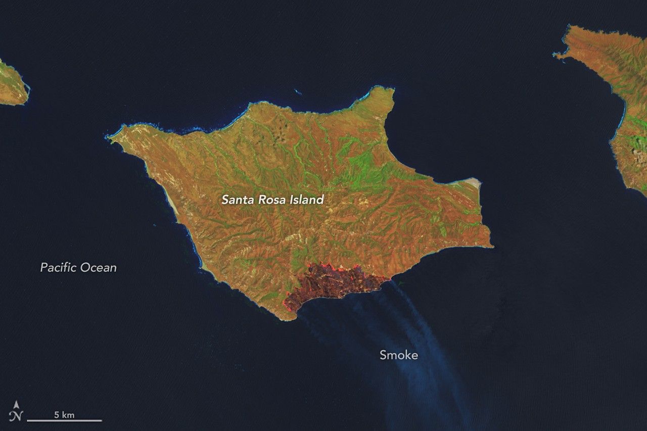
A wildland fire charred grassland, coastal sage scrub, and chaparral across one-third of the island, the second largest of the Channel Islands.

Satellites observed striking upper-atmosphere phenomena generated by an intensifying tropical cyclone.

Radar data from an agricultural area in South Africa, shown in a vivid color palette, reveal crop types and how they changed during the Southern Hemisphere’s growing season.

Wild disturbances are on the rise, while land disturbed by human activity has been decreasing.

The volcano on Indonesia’s Halmahera Island routinely ejects ash, volcanic gases, and volcanic bombs.

Once a month during the full Moon, Landsat 9 turns from Earth to image the lunar surface, helping keep the spacecraft’s data accurate and consistent.

In a precursor to Memorial Day, people in Charleston, South Carolina, honored fallen Civil War troops with flowers, songs, and marches at an event at a racetrack on May 1, 1865.

The strongest of several twisters to touch down in the southern part of the state in early May 2026 left a visible path of damaged vegetation.
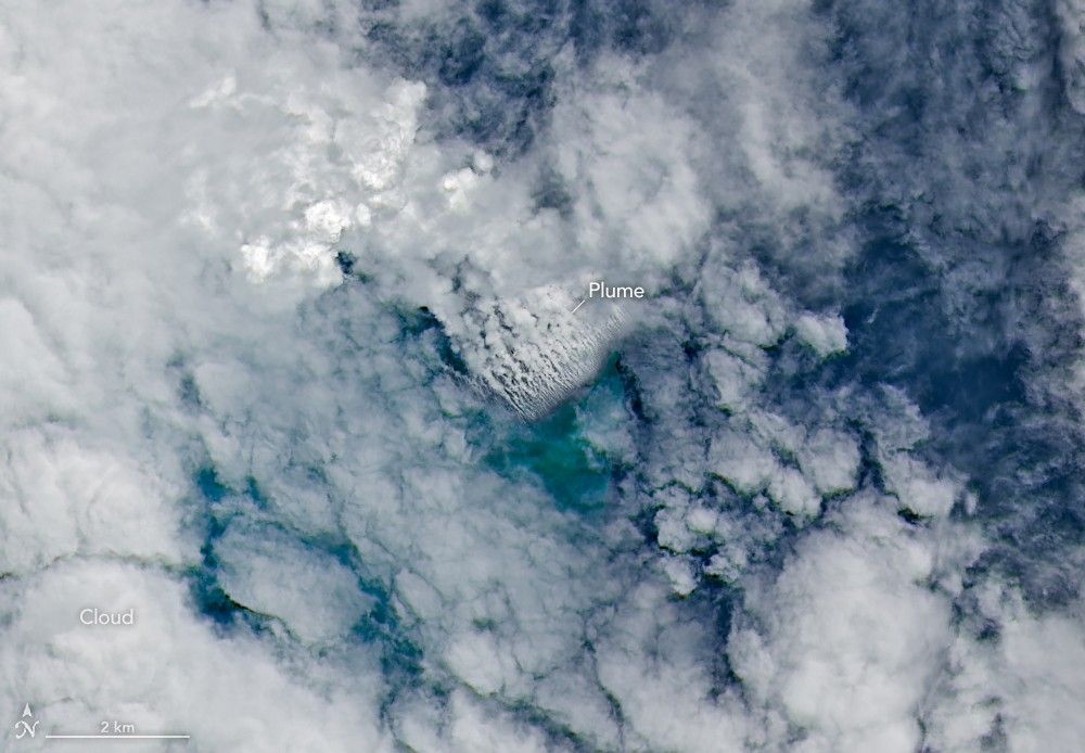
Satellite imagery shows a surge of new volcanic activity in the ocean near Papua New Guinea.

The glacial lake left a layer of silt and clay in southeastern Manitoba, creating fertile farmland that was divided during 19th-century land surveys and is still farmed today.