
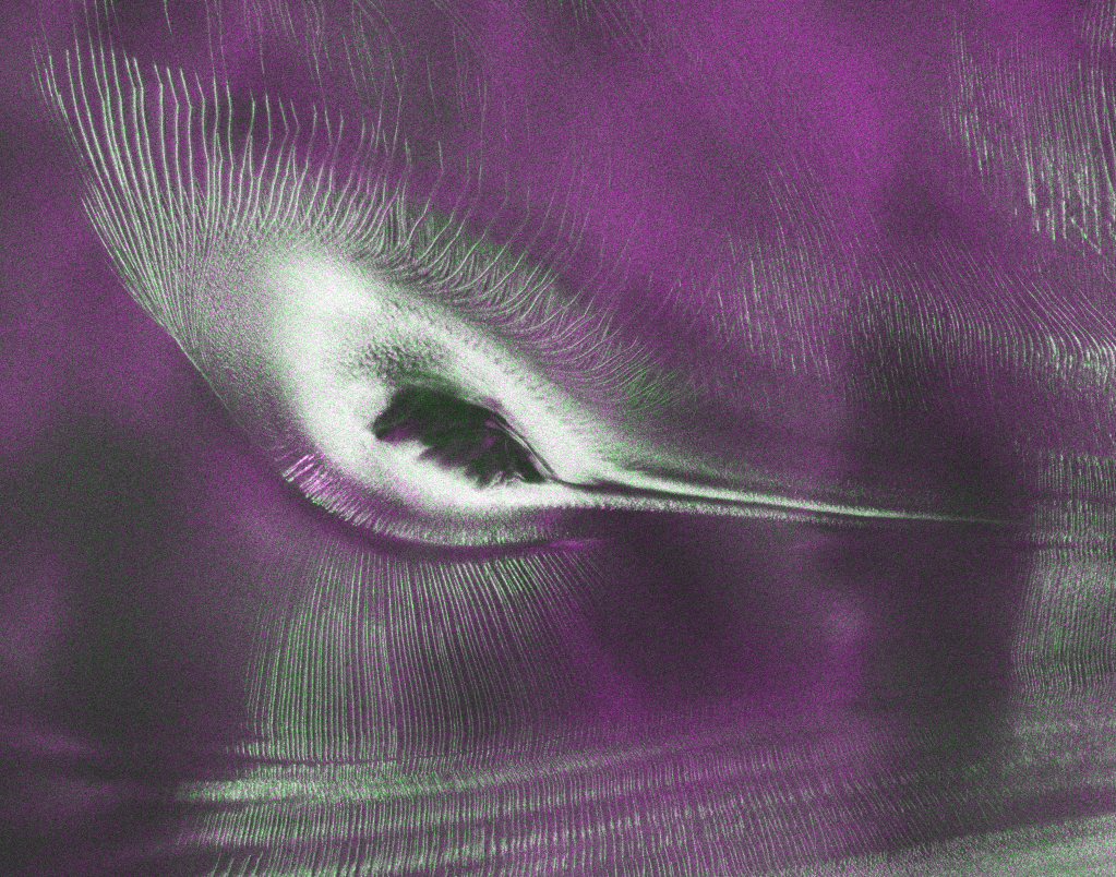
Description Data from the Earth-orbiting U.S.-India NISAR (NASA-ISRO Synthetic Aperture Radar) satellite’s L-band radar was used to produce an image of Nunatak Zaterjavshijsja — a mountaintop in East Antarctica — poking out amid a stream of ice flowing northeast to the ocean. The obstruction causes stresses in the ice, heavily fracturing the surrounding surfaces with […]
As of July 20, the public can access data from the two powerful radar instruments aboard the NISAR (NASA-ISRO Synthetic Aperture Radar) satellite. Teams in the United States and India will release files processed from the satellite’s L-band and S-band radars on an ongoing basis, helping researchers and other users track the movement of Earth’s […]

Radar data from the NISAR satellite show that La Guaira and nearby areas experienced significant ground displacement from the June 2026 temblors.

Radar data from an agricultural area in South Africa, shown in a vivid color palette, reveal crop types and how they changed during the Southern Hemisphere’s growing season.

Description A scientist produced this map of land subsidence (sinking) in Mexico City using data from the NISAR (NASA-ISRO Synthetic Aperture Radar) mission captured between Oct. 25, 2025, and Jan. 17, 2026. The region has been a well-known hot spot of subsidence for decades, and images like this help confirm that NISAR is performing as […]
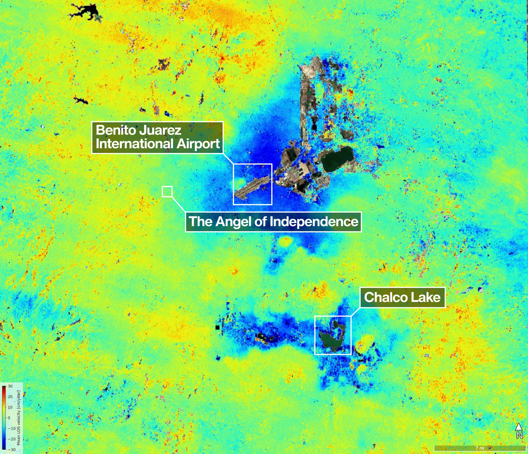
One of the most powerful radar systems ever launched into space has mapped the ground moving beneath one of fastest subsiding capitals in the world: Mexico City. The findings show how quickly and reliably the NISAR (NASA-ISRO Synthetic Aperture Radar) satellite can track real-time changes across Earth’s surface from orbit, unhindered by clouds or vegetation […]
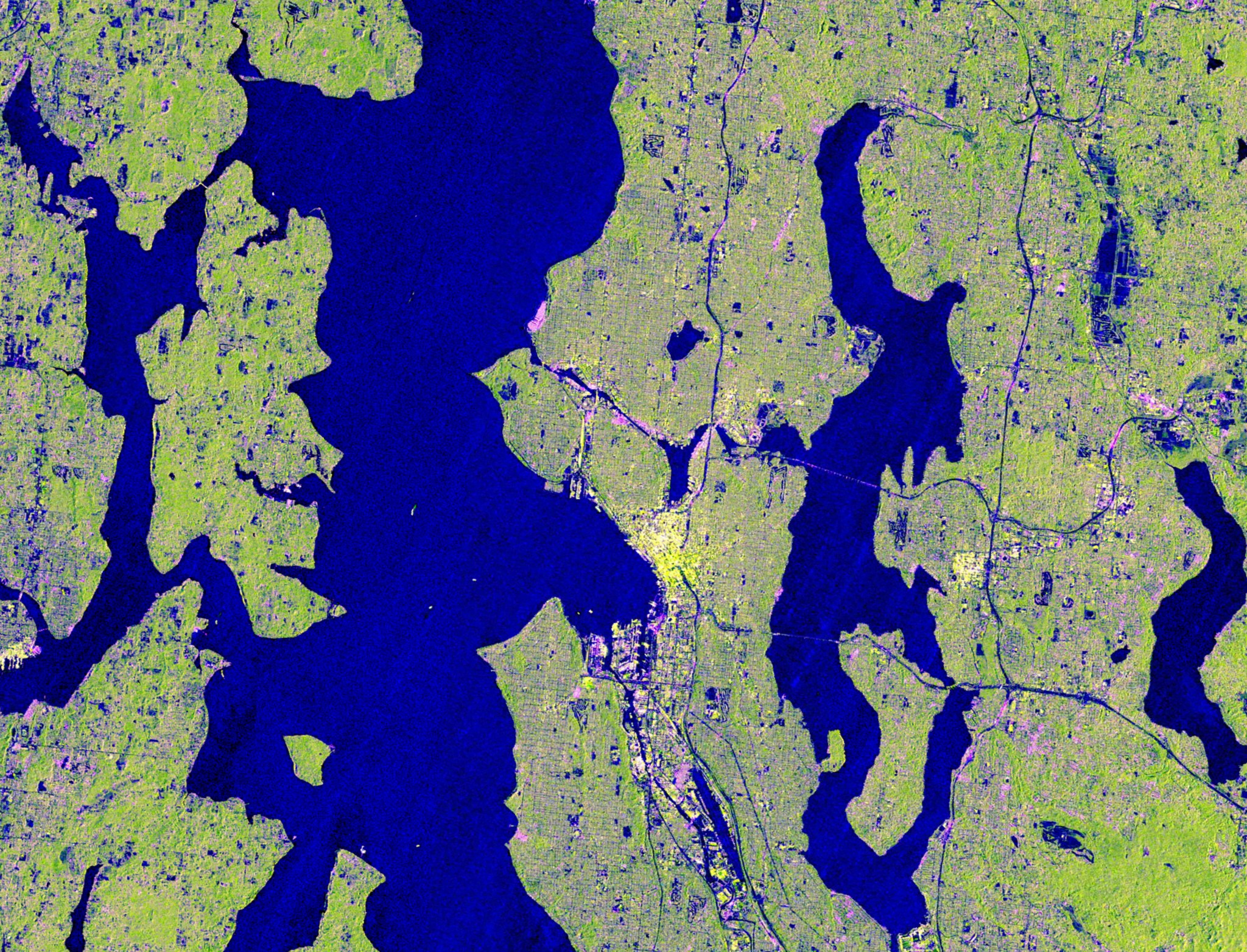
Seattle and Portland, Oregon, are among the cloudiest cities in the United States. But that infamous cloud cover is no match for the U.S.-Indian Earth satellite NISAR (NASA-ISRO Synthetic Aperture Radar), which is designed to peer straight through clouds. Doing so allows scientists to study the Pacific Northwest’s natural landmarks and bustling port cities like […]
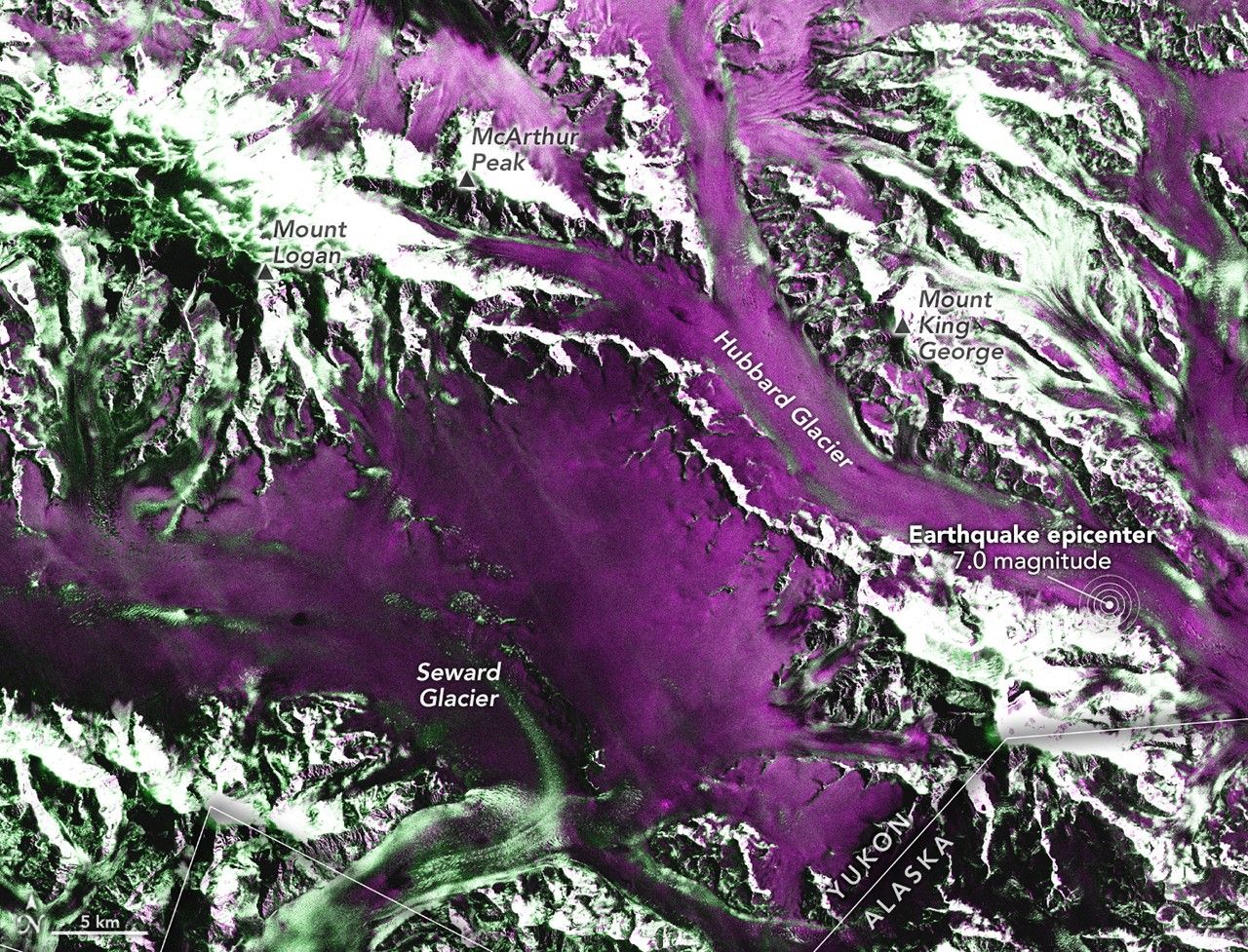
Satellite-based radar images show where a powerful earthquake in the Yukon, Canada, sent rock, snow, and ice spilling across the frozen landscapes of the St. Elias Mountains.
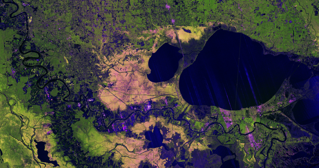
A new image from the NISAR mission shows off the satellite’s ability to reveal details of Earth’s surfaces. The science team also released new sample data. A U.S.-Indian Earth satellite’s ability to see through clouds, revealing insights and characteristics of our planet’s surface, is on display in a colorful, newly released image showing the Mississippi River Delta region in southeastern Louisiana. Created with data collected by the NISAR (NASA-ISRO […]