
As of July 20, the public can access data from the two powerful radar instruments aboard the NISAR (NASA-ISRO Synthetic Aperture Radar) satellite. Teams in the United States and India will release files processed from the satellite’s L-band and S-band radars on an ongoing basis, helping researchers and other users track the movement of Earth’s […]

Join a national community of precipitation reporters providing critical data to improve scientific understanding and forecasts.
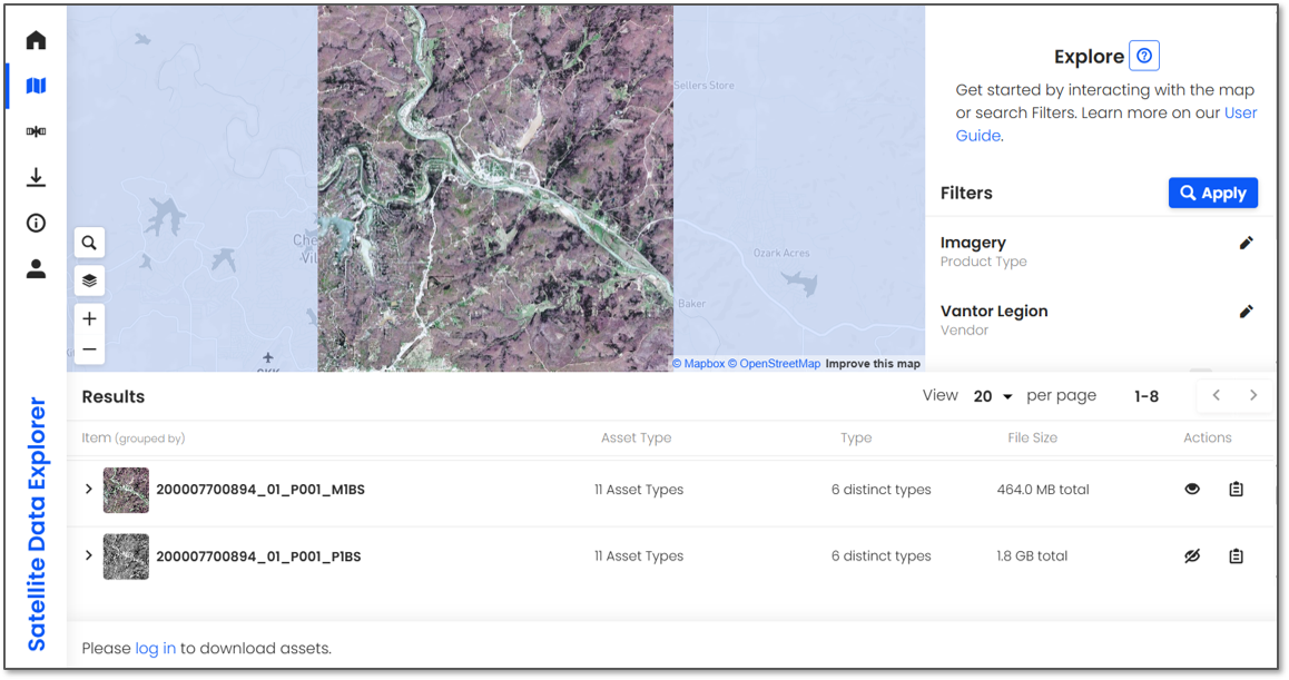
NASA has selected eight new companies and will acquire new data products from six existing Commercial Satellite Data Acquisition contract holders to expand the range of commercial satellite data available to researchers, civil agencies, and decision-makers. Such measurements supplement NASA’s Earth satellites by contributing high-resolution and frequent observations to enhance the agency’s set of data. […]

During the 2025-2026 school year, educators from the NASA Science Activation Program’s GLOBE (Global Learning and Observation to Benefit the Environment) Mission Earth project participated in a specialized Community of Practice led by NASA Langley Research Center to refine how students interact with NASA’s land cover data (MODIS, Landsat, and Sentinel-2).

A compact, multifrequency radar built by a team at NASA’s Jet Propulsion Laboratory will make it easier to collect information about dynamic cloud systems. Called CloudCube, this new instrument simultaneously probes the atmosphere with three radar signals, spanning 36 to 240 GHz, for optimized sensitivity to a wide range of water droplet and ice particle sizes.
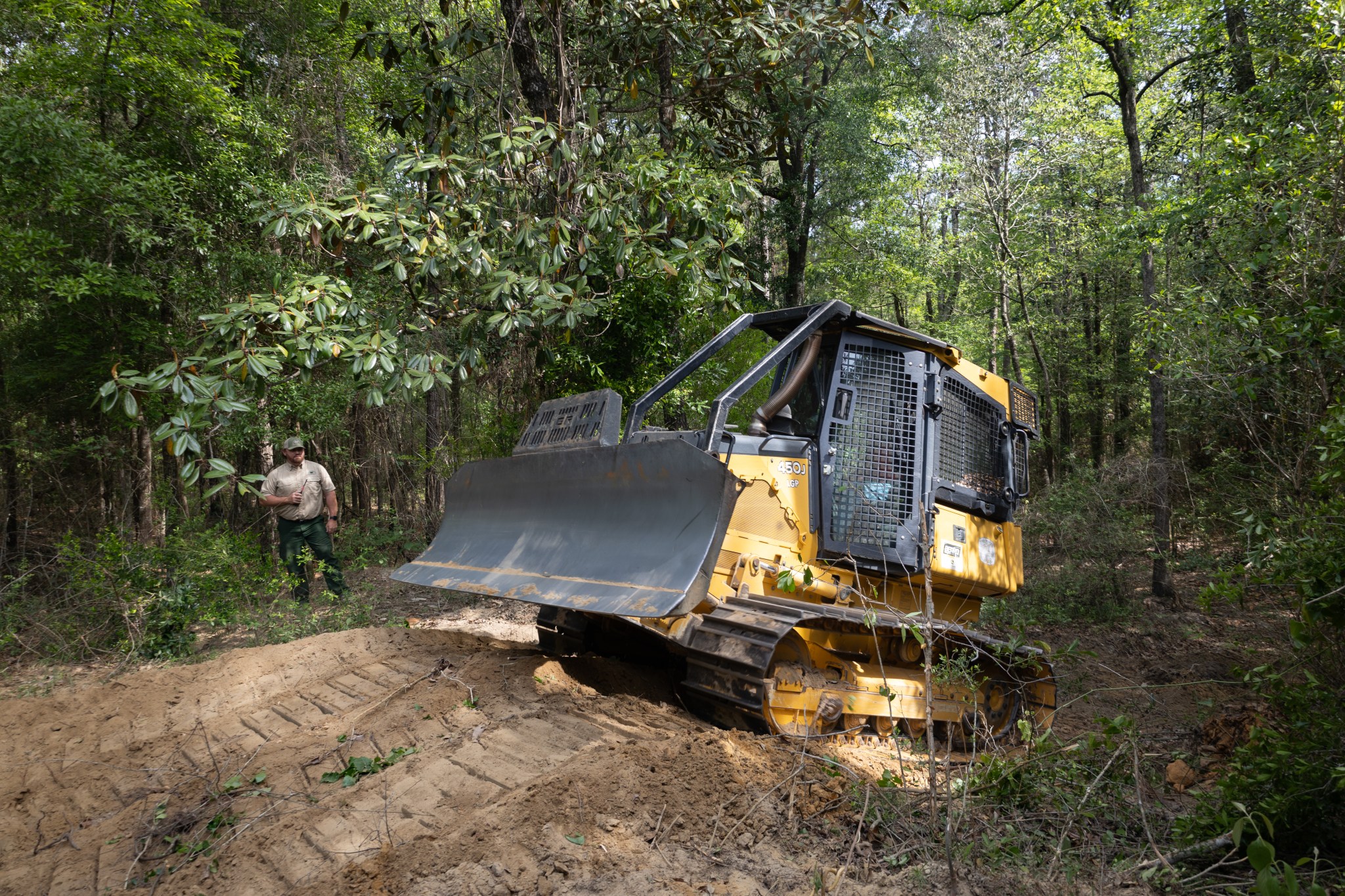
With peak wildfire season approaching, scientists with NASA’s FireSense project have created low-cost thermal sensors to install on fire bulldozers that will alert firefighters when heat from a nearby fire reaches a dangerous level. The sensors also provide researchers with important data on what happens beneath the canopy during a fire. In April, researchers and […]

The Landsat 10 Spacecraft Draft Request for Proposal (DRFP) is available for review via SAM.gov.
Sea level data from a satellite launched by NASA and European partners shows that a swell of warm water hundreds of miles wide has arrived in the Pacific Ocean off the coast of South America, a sign that El Niño will likely emerge later in the year. Because water expands as it warms, a rise […]
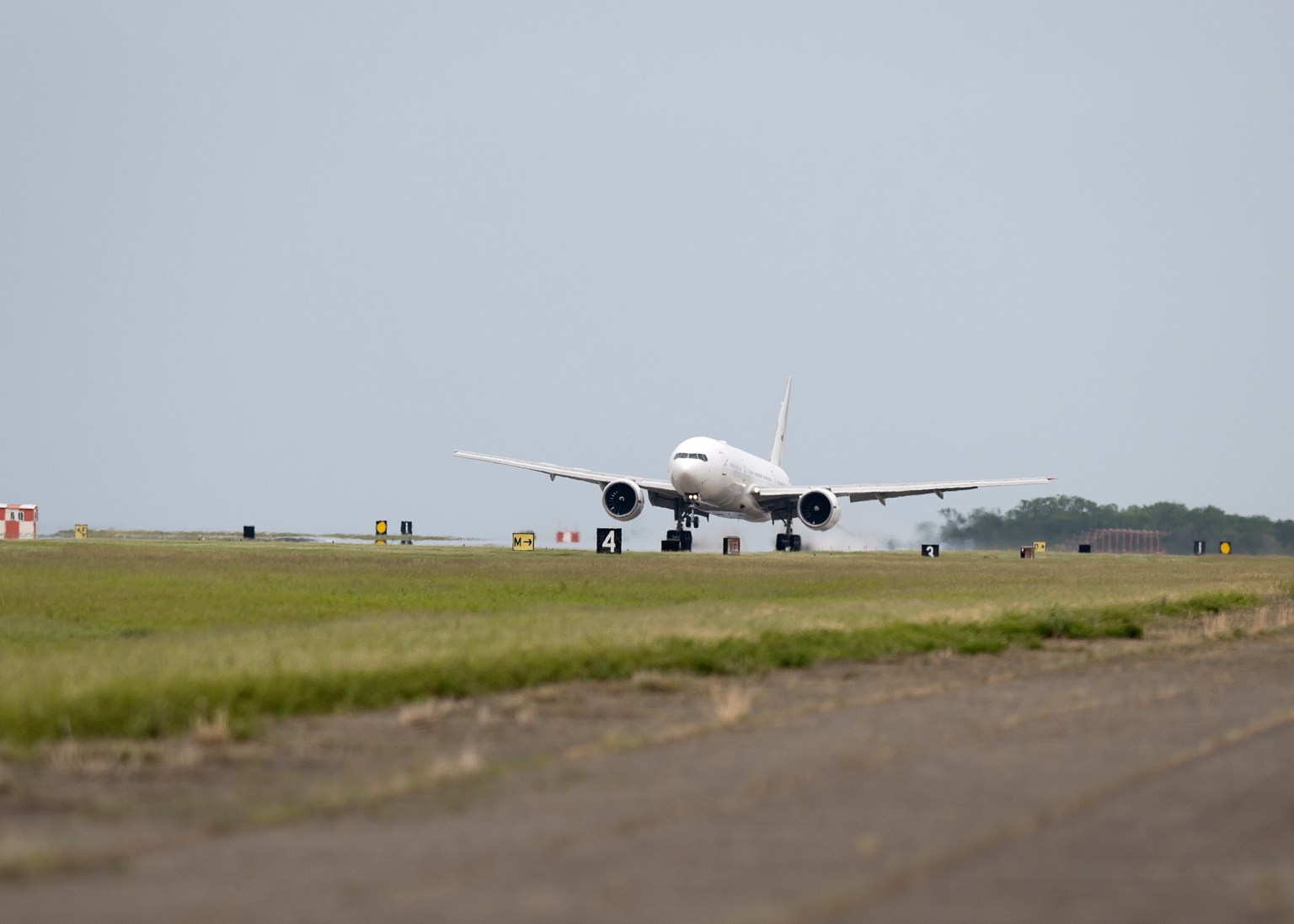
NASA’s Boeing 777 has returned to the agency’s fleet after undergoing heavy structural modifications as it transforms from a giant passenger plane into the agency’s next-generation airborne science laboratory. After a check flight and a three-hour transit from Waco, the aircraft returned to NASA’s Langley Research Center in Hampton, Virginia, on April 22. Since January […]

On Jan. 31, students, library staff, researchers, and community members gathered at the University of Florida’s (UF) Marston Science Library for the Environmental Monitoring through Education, Research, and Geospatial Engagement (EMERGE) NASA Data Hackathon. This initiative empowers libraries, educators, and individuals to engage in public health and environmental science using real-world data tools and citizen […]