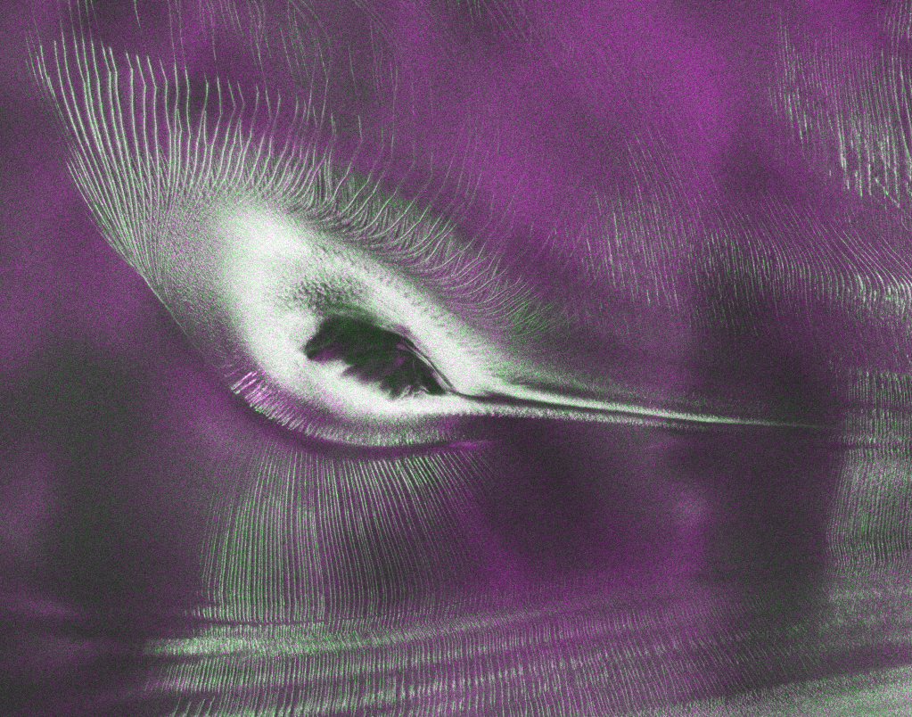
As of July 20, the public can access data from the two powerful radar instruments aboard the NISAR (NASA-ISRO Synthetic Aperture Radar) satellite. Teams in the United States and India will release files processed from the satellite’s L-band and S-band radars on an ongoing basis, helping researchers and other users track the movement of Earth’s […]
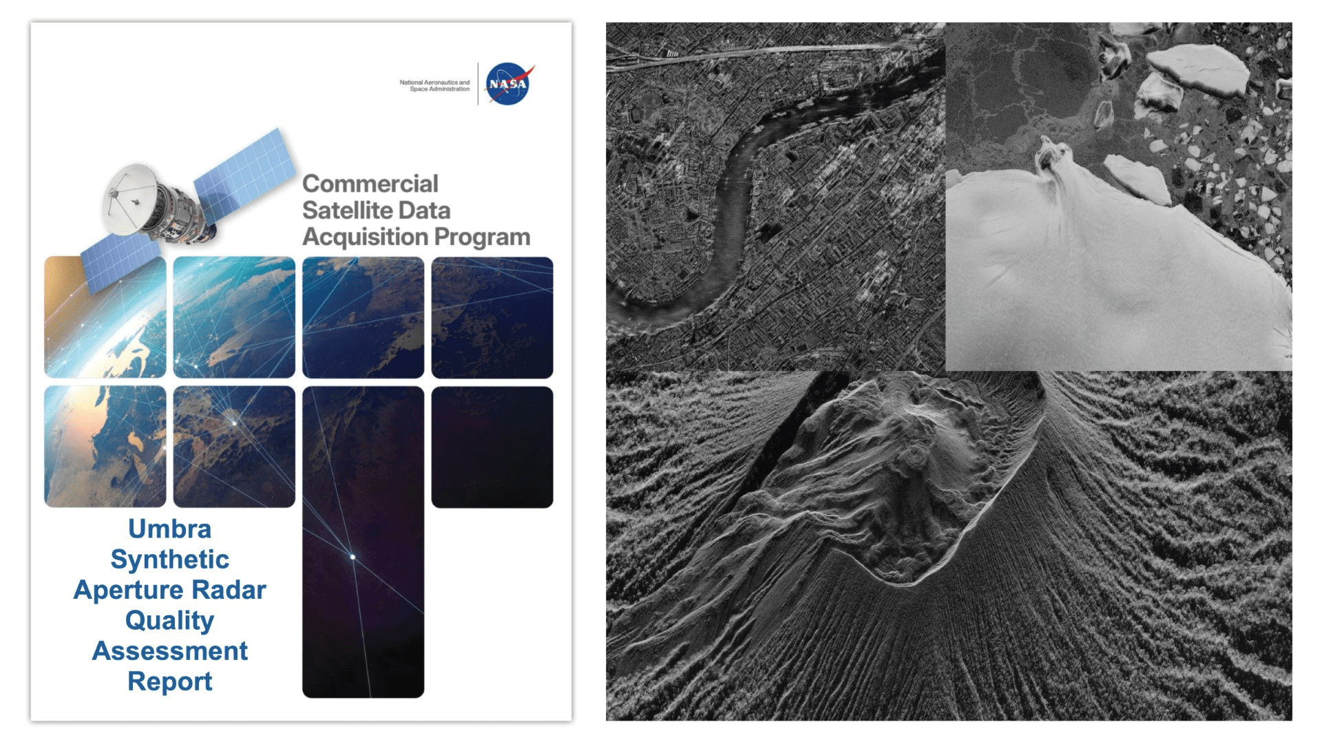
The reports add to the growing documentation on commercial data’s contributions to Earth science research and applications.

Eight commercial data providers received contracts to provide a range of data in support of NASA’s Earth science priorities.
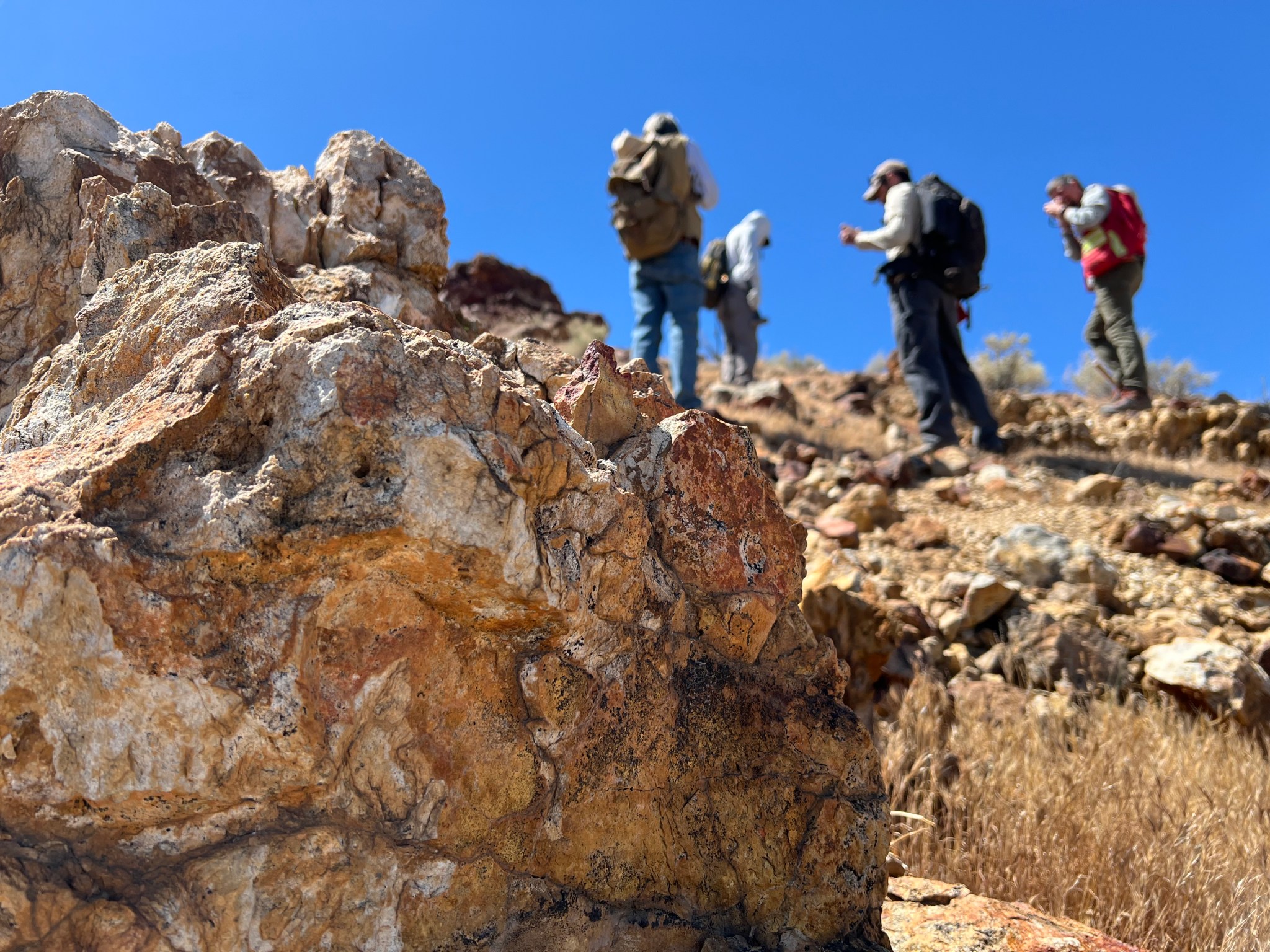
Equipped with rock picks and hand lenses, a team of geoscientists deployed to the Mojave Desert recently to investigate a tantalizing “fingerprint” detected by a NASA sensor. Their target: a cache of topaz hiding in plain sight. The geologists weren’t searching for gem-grade treasure. Rather, the presence of topaz could hint at a more valuable […]

Abstracts are now being accepted for the session, which will take place at the 2027 AMS Annual Meeting.
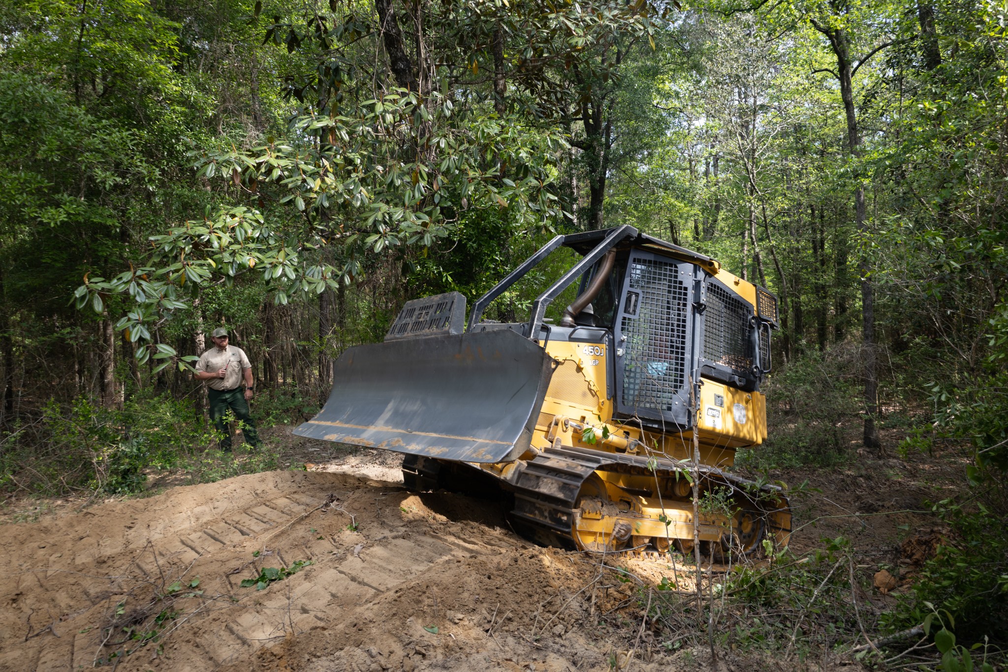
With peak wildfire season approaching, scientists with NASA’s FireSense project have created low-cost thermal sensors to install on fire bulldozers that will alert firefighters when heat from a nearby fire reaches a dangerous level. The sensors also provide researchers with important data on what happens beneath the canopy during a fire. In April, researchers and […]

The Landsat 10 Spacecraft Draft Request for Proposal (DRFP) is available for review via SAM.gov.
Sea level data from a satellite launched by NASA and European partners shows that a swell of warm water hundreds of miles wide has arrived in the Pacific Ocean off the coast of South America, a sign that El Niño will likely emerge later in the year. Because water expands as it warms, a rise […]
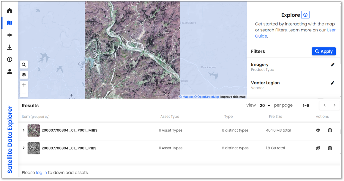
Learn how to use the Satellite Data Explorer to search, access, and task commercial Earth Observation data.
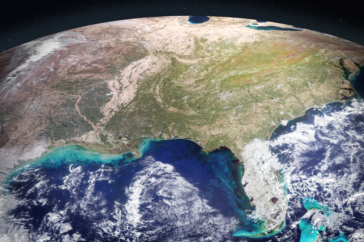
NASA scientists have developed an artificial intelligence tool to take on a longstanding challenge in ocean waters. In a study recently published in AGU Earth and Space Science, researchers reported the tool was able to fuse data from multiple satellites and detect harmful algal blooms that occurred in western Florida and Southern California. Severe blooms […]