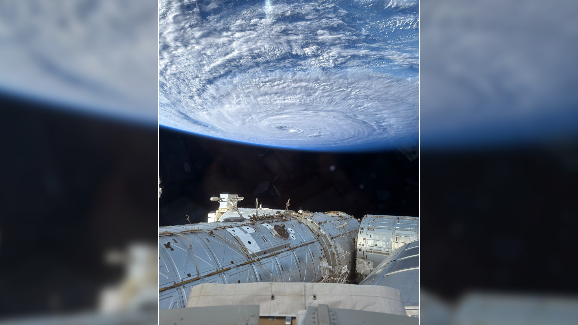
From the International Space Station on Aug. 2, 2026, NASA astronaut Anil Menon captured an incredible photograph of a swirling typhoon in the Pacific Ocean.
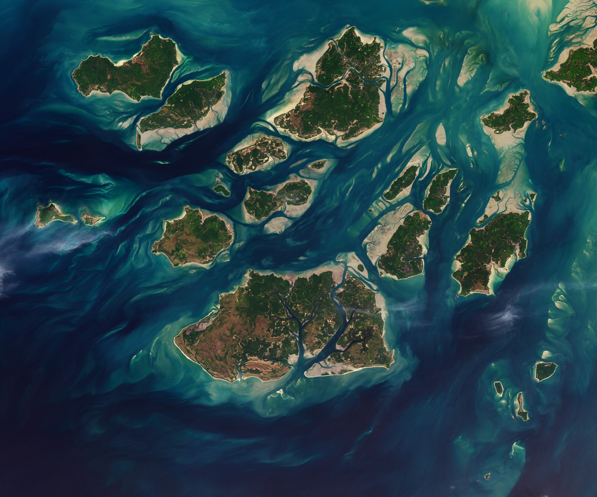
Twice each day, tides ebb and flow through a maze of sandy channels, mudflats, and mangrove forests that flank the 88 islands and islets of Guinea-Bissau’s Bijagós Archipelago (Arquipélago dos Bijagós in Portuguese). Seen from above in this image from Nov. 28, 2025, the process leads to stark changes to the landscape: around low tide, intertidal mudflats and sandflats […]

The gusty wind didn’t make it easy to hold tight to a balloon so large. The balloon, a scientific instrument called an ozonesonde, was about to be released into the atmosphere above the Texas Gulf Coast by students from NASA’s SARP (Student Airborne Research Program), which concluded its summer session July 27. The balloon’s job […]
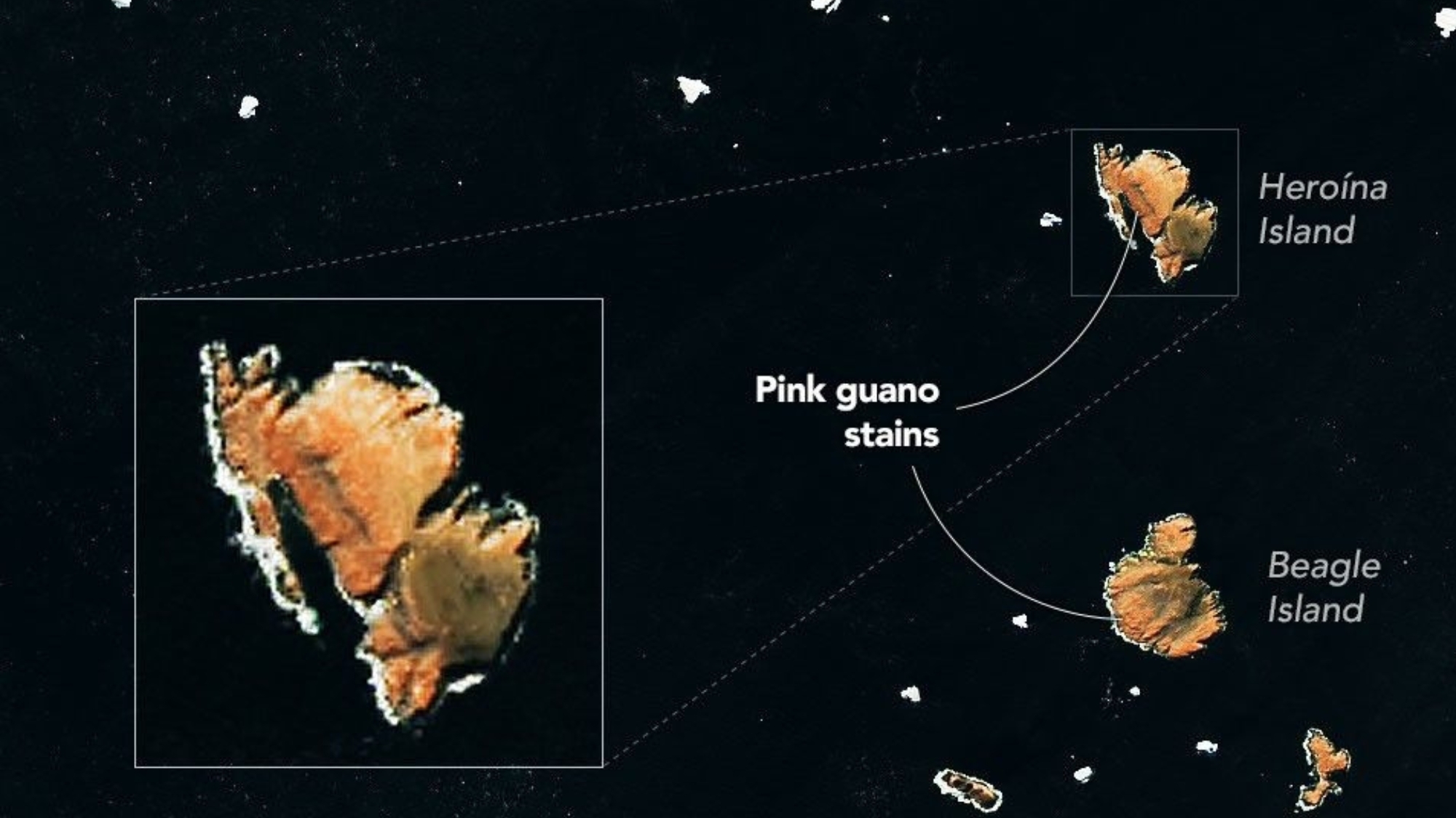
Researchers used NASA satellite imagery, along with ground observations, to track changes in the diets of penguins on Antarctica’s Danger Islands.
“That’s the first time that’s ever been done.”
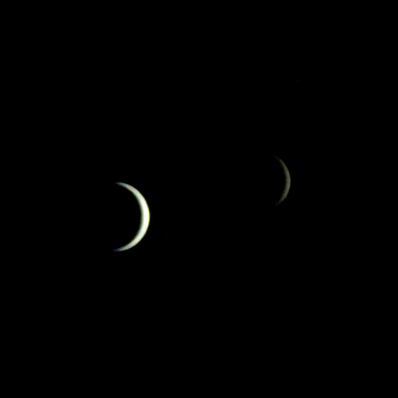
On July 3, one of NASA’s two Mars-destined ESCAPADE (Escape and Plasma Acceleration and Dynamics Explorers) spacecraft captured photos of Earth and the Moon in visible and thermal infrared light. At the time, the spacecraft was 363,250 miles (584,600 kilometers) from Earth and 115,600 miles (186,100 kilometers) from the Moon, making the Moon appear relatively […]
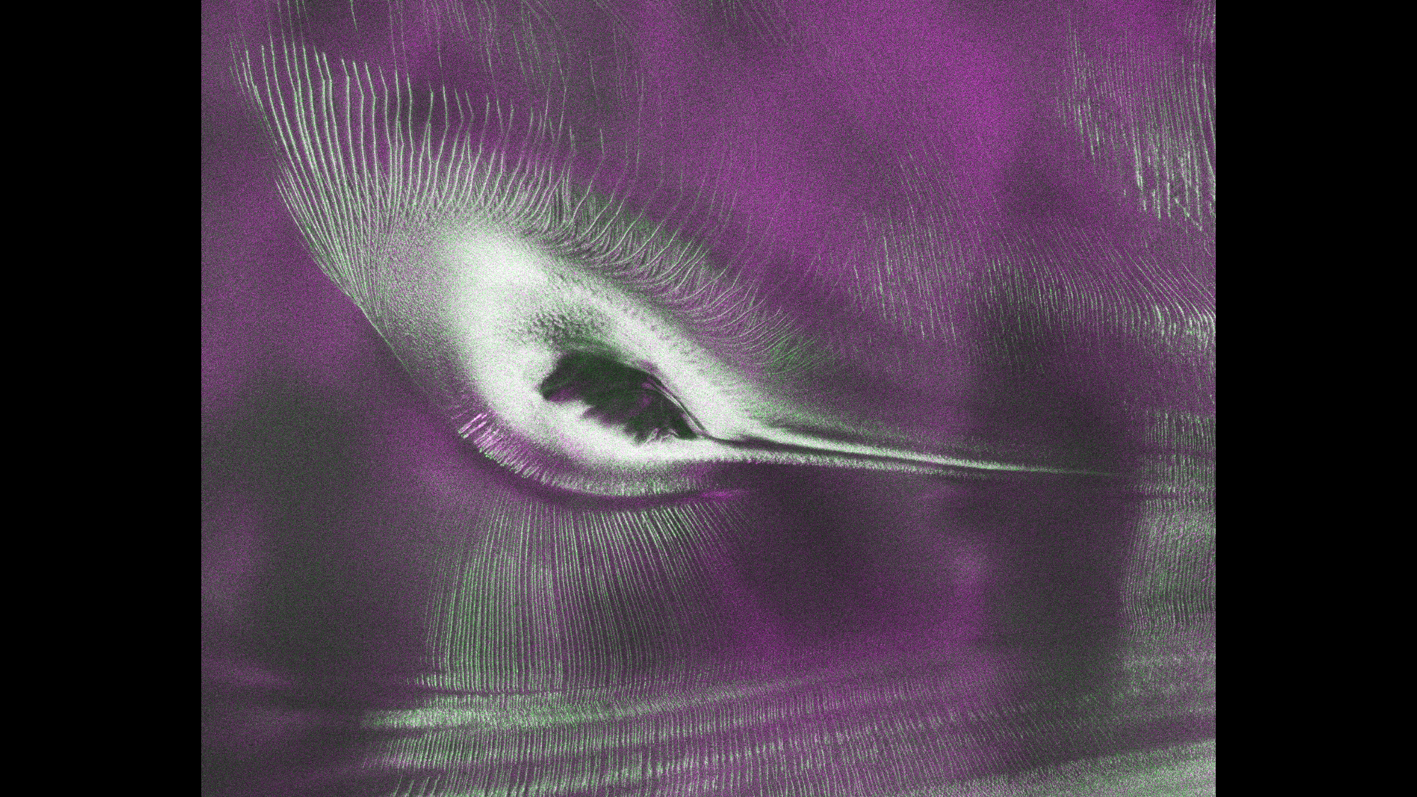
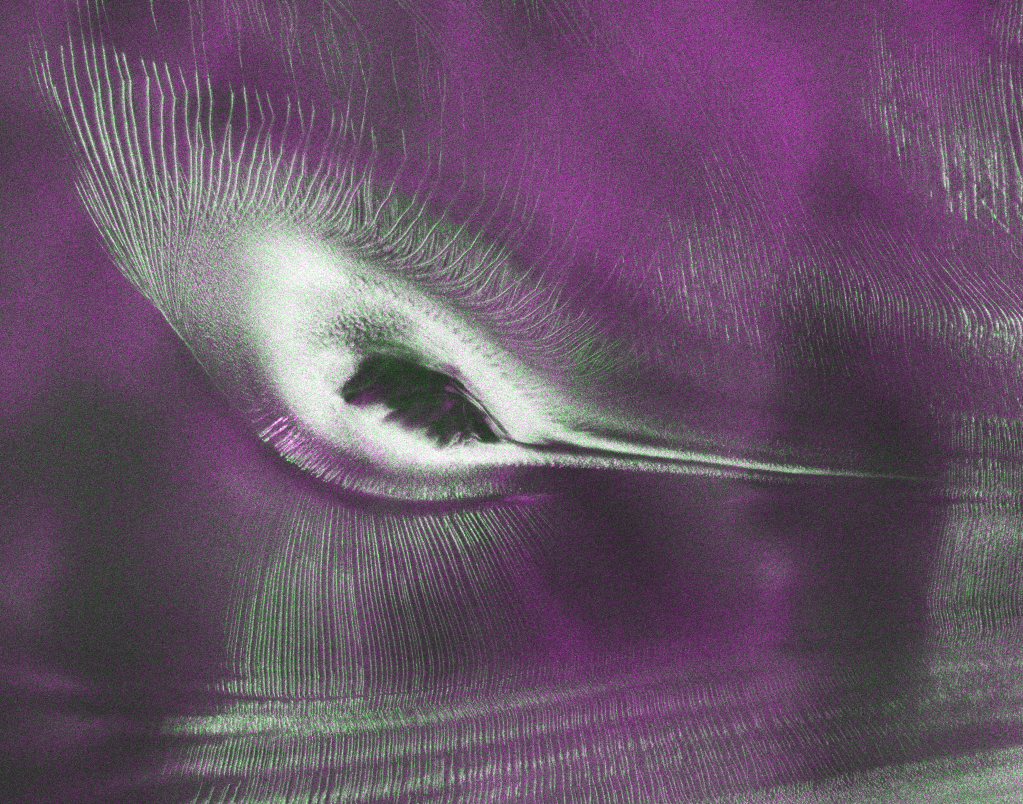
A hummingbird shape in satellite data from NISAR is actually a mountaintop spotted in Antarctica.
As of July 20, the public can access data from the two powerful radar instruments aboard the NISAR (NASA-ISRO Synthetic Aperture Radar) satellite. Teams in the United States and India will release files processed from the satellite’s L-band and S-band radars on an ongoing basis, helping researchers and other users track the movement of Earth’s […]
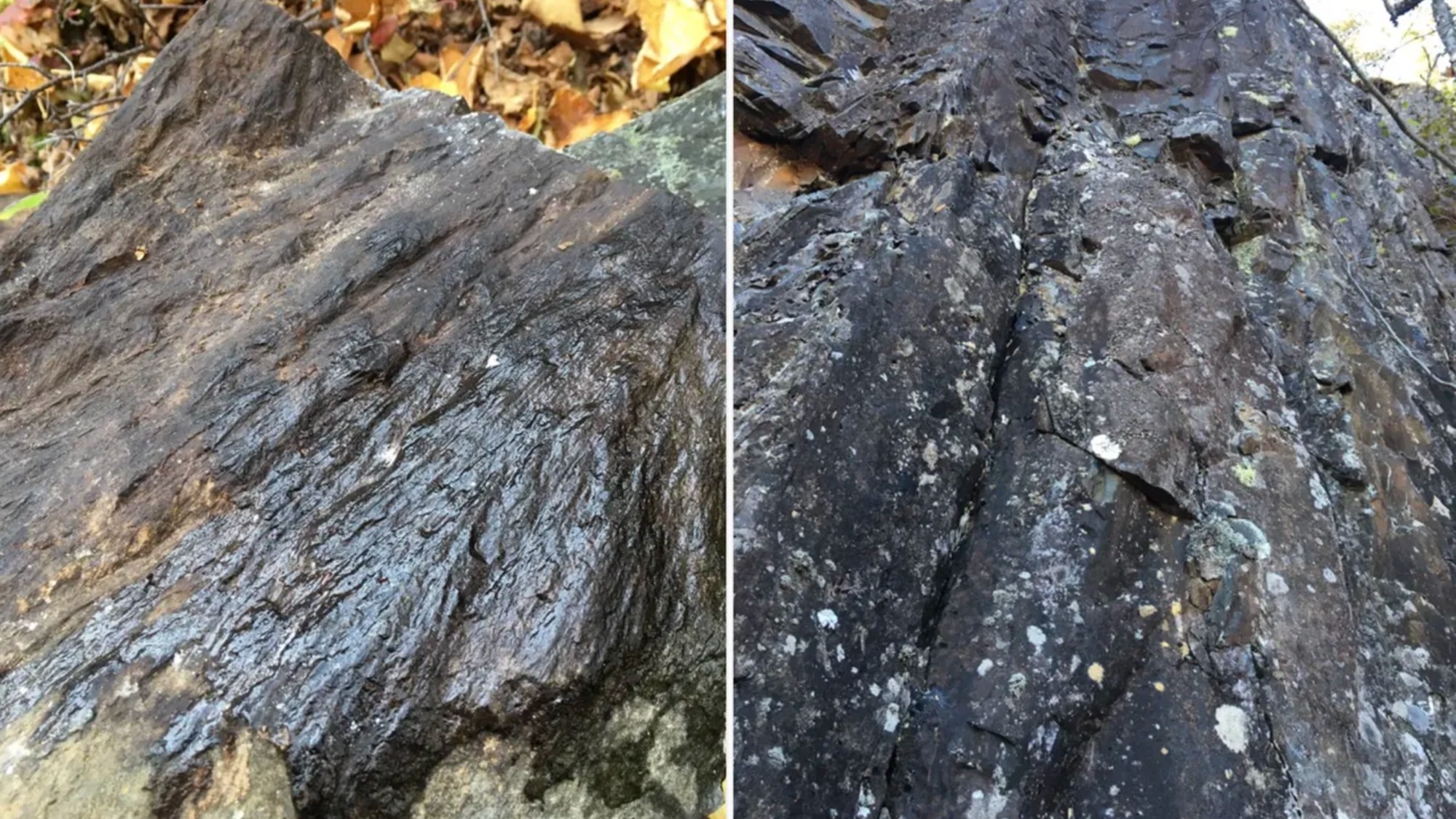
While getting ready for a camping trip, an amateur astronomer spotted a possible crater. It appears to be a match, pending microscopic results.

The first of six new airborne campaigns will hit the skies this summer.